#KUFieldworks: Showing students how mountains are made
Editor’s note: Fieldwork provides invaluable insights about real-world environments and processes, expanding and reinforcing what researchers learn in classrooms, labs and collections. KU faculty, staff and students across a spectrum of disciplines are taking their inquiry directly to rivers, prairies, dig sites, glaciers, islands, archives and more this summer. Through the #KUFieldWorks series, we'll join them on their adventures.
Q&A with Michael Taylor, professor of geology
LAWRENCE — A group of geology graduate students recently traveled to Nepal — home to eight of the world’s 10 tallest mountains — to explore compelling research questions about how these landforms change over time. Understanding mountain growth illuminates tectonic movement related to hazardous seismic activities, such as earthquakes. Michael Taylor, professor of geology, led the National Science Foundation-funded trip to train the next generation of geologists in the field.
What methods, approaches, experiments, etc. are you using?
We use traditional field mapping, remote sensing, and geochronology (the science of age dating geologic events and earth materials like rocks, minerals and fossils).
Why does your study matter to your field or for society?
Understanding rates of mountain building has profound implications for seismic hazards. For example, high rates of crustal deformation, such as occur in the Himalayas, accumulate large magnitudes of elastic energy. When this elastic energy exceeds the strength of the main mountain range faults, earthquakes can nucleate at shallow levels in the Earth’s crust, radiating seismic energy to the surface. Kathmandu, the largest city in Nepal, is located in a broad valley that is filled by recent sediments. When seismic energy reaches the Kathmandu Valley, seismic energy is amplified, leading to catastrophic ground shaking that can topple buildings.
What do you enjoy most about being in the field?
Field mapping is the ultimate example for teaching geology students the scientific method. We are constantly asking questions and testing hypotheses using field observations.
What are some memorable (funny, scary, surprising, etc.) moments from the field?
There are so many memorable moments that include being stuck in the mud for three days, a broken axle for two weeks in the middle of the Tibetan Plateau and having a Tibetan nomad ride their horse for 20 km (more than 12 miles) to find help. Being charged by a Tibetan brown bear. Riding in a helicopter from the high Himalaya to Kathmandu to catch my international flight after being stuck in the mountains for two weeks.
When is fieldwork frustrating, challenging or overwhelming?
Fieldwork is mostly challenging when a vehicle is not functioning properly, or the local authorities do not recognize the permits we work so hard to get in place.
How does fieldwork complement the work you do elsewhere?
Fieldwork is a fundamental component to our research. We perform fieldwork to collect rock or sand samples that undergo processing to obtain analyses on high precision lab equipment to obtain geochronology data. The mapping relationships, combined with the lab results, help us to develop kinematic models that describe the mountain-building process. We then use these kinematic models to infer deeper lithospheric scale processes, which are complimented by existing geophysical data.
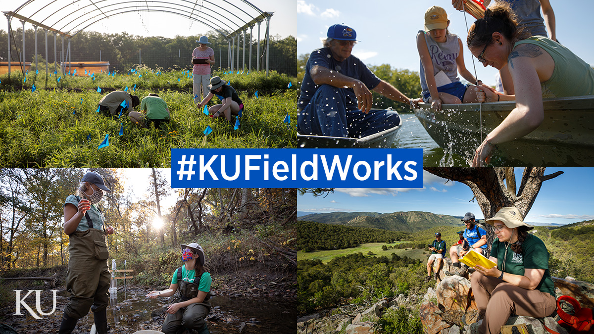
First photo: University of Kansas researchers conduct fieldwork in prairies, rivers, streams and mountains. The #KUFieldWorks series follows researchers on their fieldwork adventures.
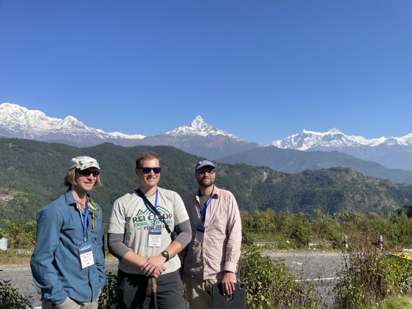
Second photo: KU graduate students Clay Campbell (right) and Dan Mongovin (center) in the mountains.
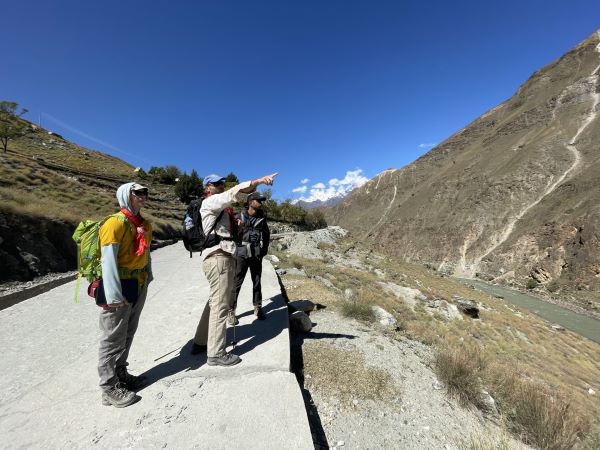
Third photo: Graduate students inspect the mountains.
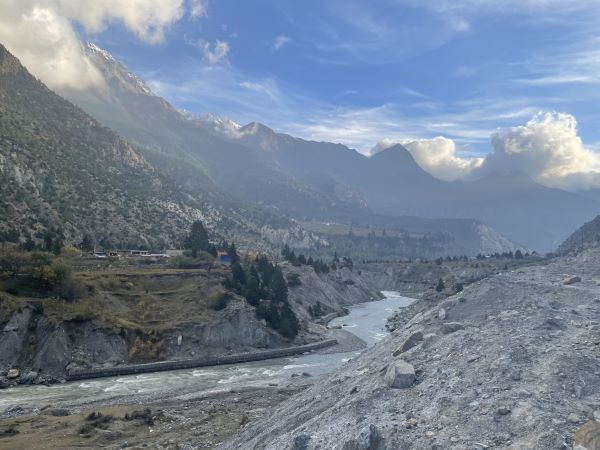
Fourth photo: The Himalaya mountains.